Earthquake Details (2018-11-29)
This is an archival version of a significant seismic event report. For the latest version go to https://www.earthquakescanada.nrcan.gc.ca/eqpages/en/
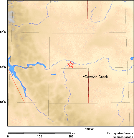
Thursday November 29, 2018
| Local Time: | 18:27:00 MST |
|---|---|
| Magnitude: | 4.5 ML |
| Latitude: | 56.1 North |
| Longitude: | 120.9 West |
| Depth: | 5.0 km |
| UT Date and Time: |
2018/11/30 01:27:00 UT |
Did you feel it?
Comments:
- Felt in Fort St. John, Taylor, Chetwynd, Dawson Creek.
- There are no reports of damage.
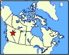
Approximate Location of Earthquake: